How to Find Property Boundaries Without Hiring a Surveyor
-

- July 18th, 2026
- 31 views

FREE SEO Topical Map Generator: Find Your Next Content Ideas
Boundary disputes are among the most common and costly issues that can arise after a land purchase. In many cases, the buyer had access to enough information to identify the issue before closing. Understanding how to find property boundaries using publicly available records is a practical skill that can save time, money, and legal conflict.
This article covers the methods land buyers use to research property lines before committing to a purchase: reading plat maps, interpreting legal descriptions, and using parcel map tools available through county and state resources.
Start with the Legal Description to Find Land Boundaries
A legal description is a written document that describes a parcel's boundaries using measurements and reference points. It is the most authoritative record of where a parcel begins and ends. Legal descriptions appear on the deed and are recorded with the county recorder or register of deeds.
There are two common formats:
Metes and bounds: a method that uses compass directions and distances to trace a boundary from a fixed starting point. Common in older states and rural areas.
Rectangular survey system (also called the Public Land Survey System): uses townships, ranges, and sections to describe location. Common in most states west of the original thirteen colonies.
Reading a legal description requires some familiarity with the format, but it provides a precise basis for property boundary research. When the description references a starting monument or benchmark, that physical marker may still exist on the land and can be located with a GPS device or metal detector.
How to Use Plat Maps for Property Line Research
Plat maps and property tools are a scaled diagram of a subdivision or area that shows individual parcels, lot dimensions, easements, and road rights-of-way. County assessor and recorder offices maintain plat maps and many publish them through online portals.
When reviewing a plat map for a parcel you are researching:
Check the lot dimensions against what is listed in the property description.
Look for easements or rights-of-way that cross the parcel. These are often shown as shaded strips along a boundary or road edge.
Identify adjacent parcels and their owners. Neighboring ownership can affect access, fencing disputes, and future development.
Plat maps represent recorded boundaries, not necessarily what is physically on the ground. Fences, natural features, and land use patterns do not override the recorded legal boundary.
Parcel Map Tools and Online Property Boundary Research
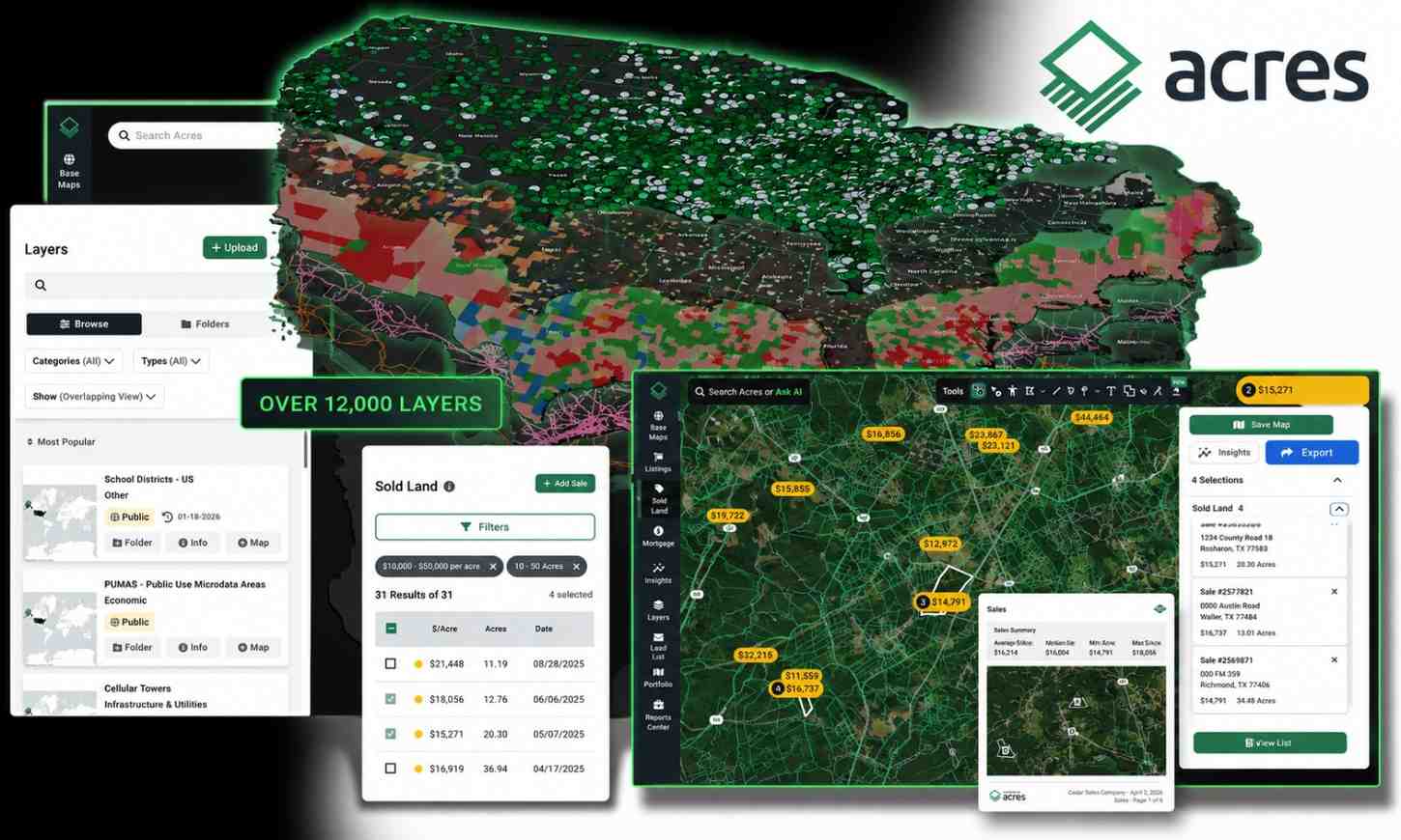
Many counties now publish interactive parcel maps that allow buyers to view boundaries visually, download parcel data, and review basic property information. Dedicated tools for finding property lines consolidate parcel boundary data alongside ownership records and property details in a format that supports pre-purchase research on rural and agricultural land.
State GIS portals are another source. Many states maintain statewide parcel databases that standardize data across counties. The Federal Geographic Data Committee maintains a registry of spatial data sources that can point buyers toward the appropriate state or county resource.
One important limitation: online parcel maps are derived from recorded deeds and surveys. They reflect what was recorded, which may not account for recent surveys, corrected boundaries, or gaps in historical data.
When to Engage a Licensed Surveyor
The methods above are useful for research and preliminary due diligence. They are not substitutes for a licensed survey when a precise legal determination of boundaries is required. Understanding what is involved in getting a land survey
getting a land survey helps buyers decide when professional measurement is warranted versus when public records research is sufficient.
Consider engaging a licensed land surveyor when:
The parcel has a complex or irregular boundary described through metes and bounds.
There is any indication of a boundary dispute with a neighboring property owner.
You plan to build, fence, or subdivide, where precise boundary placement has legal and practical consequences.
The legal description references monuments or benchmarks that no longer appear to be in place.
A survey provides a legally defensible boundary determination and is often a requirement of title insurance. Public records research can clarify what to expect and reduce the time a surveyor spends on initial research.
Conclusion
You do not need to hire a surveyor to begin understanding where a parcel's boundaries are. Legal descriptions, plat maps, parcel maps, and county parcel tools give buyers a substantial head start in property boundary research before an offer is made.
Use these tools to identify red flags early: easements that limit use, dimensions that do not match the listing, or neighboring claims that warrant closer review. The survey comes later. The research starts the moment you find a parcel worth looking into.